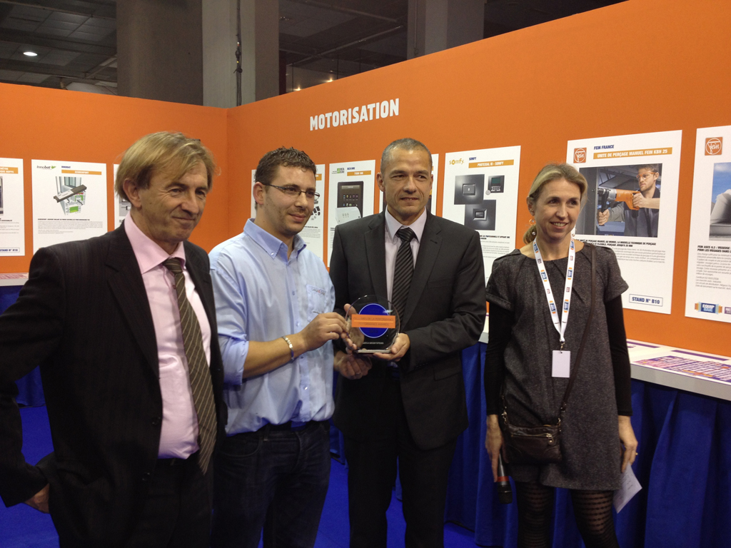
Committee members (left and right) present Frederic Gomes and Daniel Llorente (center) with the Performance and Innovation Award at EquipBaie Trade Fair in Paris.
(Heerbrugg/Switzerland, 6 December 2012) – The Leica 3D Disto won the Performance and Innovation Award at the recent EquipBaie trade fair in Paris. This revolutionary tool is able to measure, scan or project to any location in a room independent from a room’s geometry or around a building in three dimensions while visualizing and documenting the results immediately on a display.
The Leica 3D Disto defined the category of intelligent measurement tools for building information modeling (BIM) and layout at interior construction sites. The jury comprising of journalists and experts from the building sector selected ten winners from 72 new products and innovations presented in the Equipbaie and Metalexpo 2012 Innovations area.
The Leica 3D Disto was given the award for the work carried out in the measuring and installation of verandas. 3D measuring of the surface before installing veranda is possible in order to have a proper installation and no measuring mistakes. It saves time and money using the Leica 3D Disto for veranda applications measuring efficiently and accurately throughout the entire workflow.
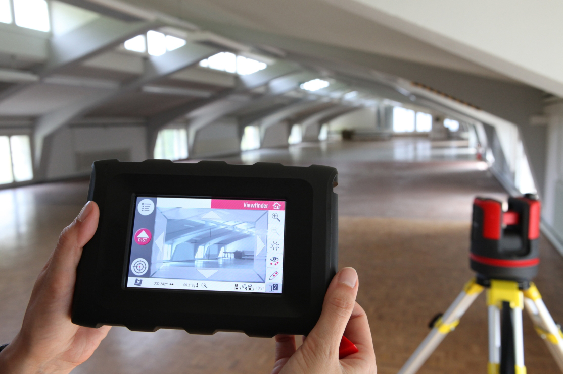
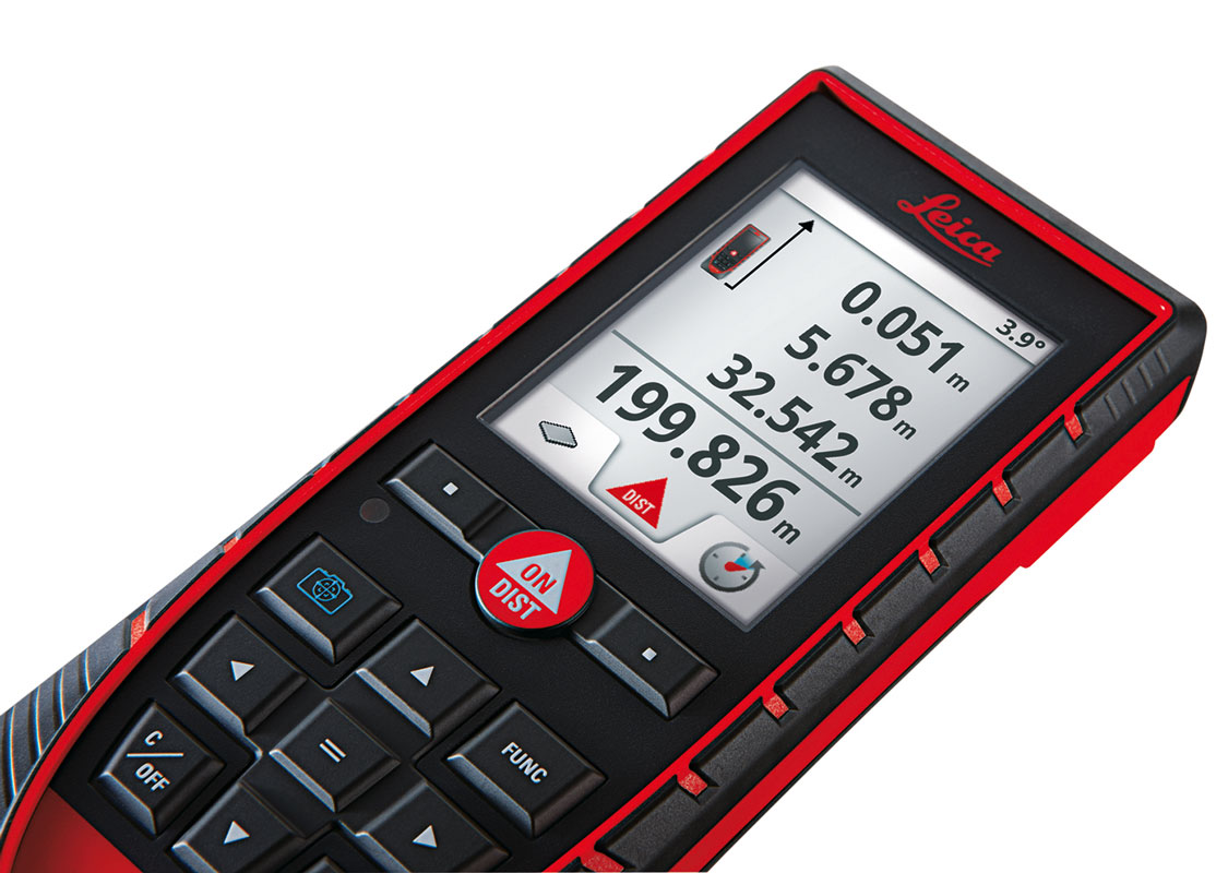
The Leica 3D Disto has been especially developed for non-surveyors who need to measure, lay-out and inspect complex building elements with high accuracy. It has an integrated digital camera with 8x zoom for precise pointing over long distance. The 3D Disto is controlled with a hand-held unit with a modern touch screen, high resolution color display and wireless connection. The display shows measurements in real-time as drawings on the screen also allowing on-site completeness checks. At the press of a button data is recorded in standard tables, photos, DXF, and text files. The data can be further processed with CAD and designs even used to manufacture products on modern CNC machines.
For more information about the Leica 3D Disto please visit:
http://www.3ddisto.com/
About Leica Geosystems – when it has to be right
With close to 200 years of experience pioneering solutions to measure the world, Leica Geosystems products and services are trusted by professionals worldwide to help them capture, analyze, and present spatial information. Leica Geosystems is best known for its broad array of products that capture accurately, model quickly, analyze easily, and visualize and present spatial information.
Those who use Leica Geosystems products every day trust them for their dependability, the value they deliver, and the superior customer support. Based in Heerbrugg, Switzerland, Leica Geosystems is a global company with tens of thousands of customers supported by more than 3,500 employees in 28 countries and hundreds of partners located in more than 120 countries around the world. Leica Geosystems is part of the Hexagon Group, Sweden.


